LAND & WATER SURVEYS (NORTHUMBRIA)
LAND • HYDROGRAPHIC • CIVIL ENGINEERING • QUANTITIES
 Welcome...
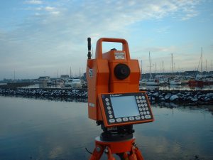
...to the website of Land & Water Surveys (Northumbria). We aim to provide our clients with a fully tailored, individual surveying service.
Please browse the rest of the site to find out more about the services we offer.
Land & Water Surveys (Northumbria) is a trading name of Soleash Ltd. © Copyright Soleash Ltd., MMIII. All rights reserved.